NVIDIA has taught drone to navigate in space without using GPS
By Prempal Singh
As you know, GPS systems are among the most common and accurate sources of origin. They are used everywhere, including unmanned aerial vehicles. But there are still areas where satellite navigation systems do not work, such as wood, tunnels, caves and so on. Therefore, NVIDIA’s researchers decided to develop its own version of the system for navigation of robots, which would not be dependent on GPS.
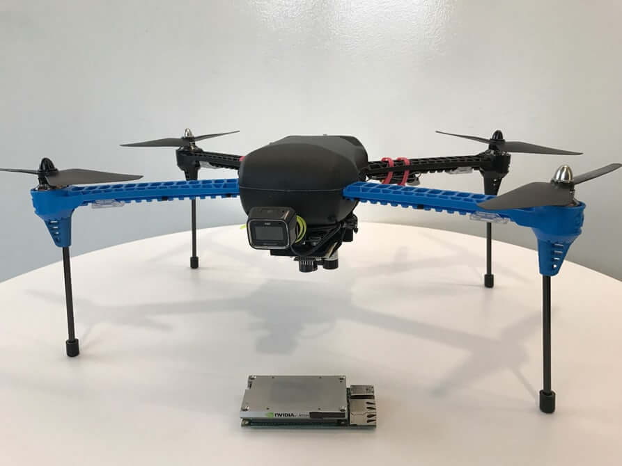
The development of the world-famous company is based on the work of cells under the control of artificial intelligence to detect incoming data and decision-making. During the test on one of the serial drone models, two additional cameras were installed and the module Jetson TX1, who bore the features of artificial intelligence and machine learning deep.
The new system is designed to ensure that drones were able to orient himself in the hard arranged space, a route and navigate without assistance. It was originally planned that the drones with such a system can be used only in the forest, but, as experience shows, they are also suitable for use in an urban environment, in areas of natural disasters and even (with minor modifications) under water.
The neural network which controls the operation of aircraft, called TrailNet, and her training took place not only “in the field”, but also by means of records with GoPro cameras made in a forest of various types, ranging from the forests of North America and ending forests on the slopes Alps. The total distance of the path, filmed on camera, amounted to almost 13 000 kilometers.